Search Navigation Map
Search
It's best if you try it out right away!

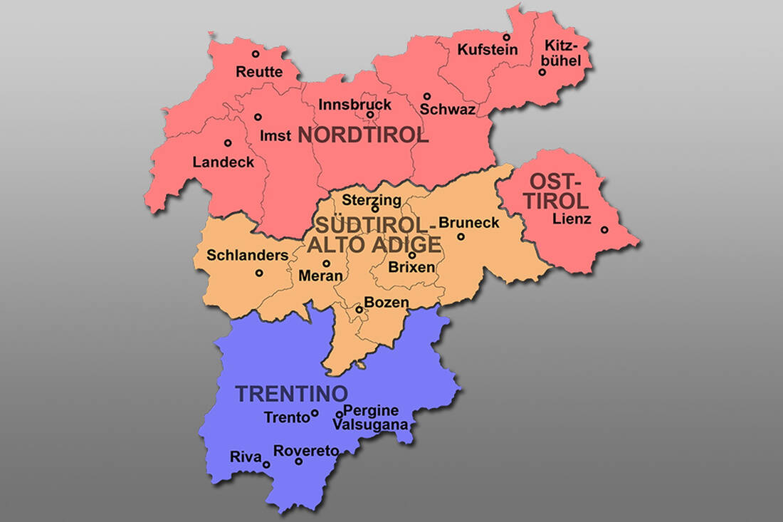
Map for South Tyrol and Tyrol

North and East Tyrol belong to the Republic of Austria and the Autonomous Region of Trentino-South Tyrol to Italy. The Austrian federal state of Tyrol has an area of 12,647.71 km² and extends geographically from 46° 39′ to 47° 45′ north latitude and from 10° 06′ to 12° 58′ east longitude. The adjoining South Tyrol (German, Ladin, Italian) to the south has an area of 7,400 km², and Trentino ("Welschtirol") has 6,206.90 km².


Simply click on the button above to get to the interactive map! This map also allows you to zoom in very close to the respective district, so that you immediately get a good impression of the location and the surroundings.

Map of Tyrol-South Tyrol-Trentino
Map of Tyrol-South Tyrol-Trentino - Public Domain
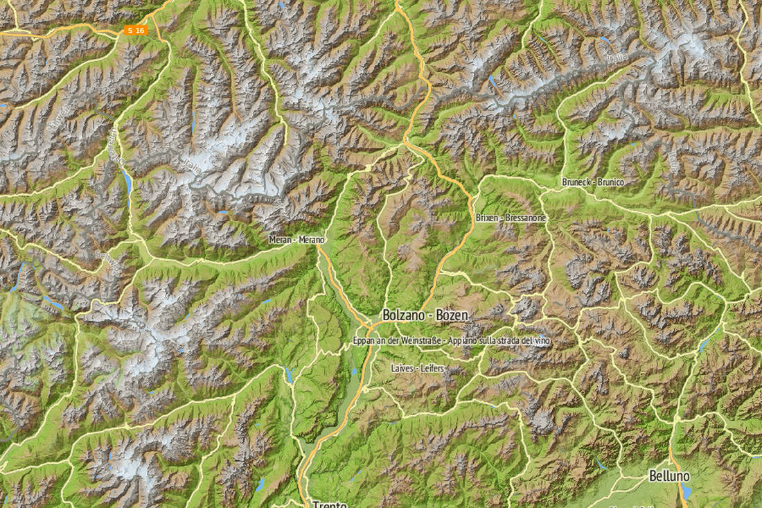
South Tyrol Map Relief
South Tyrol Map Relief - Contwise Maps with OSM Data
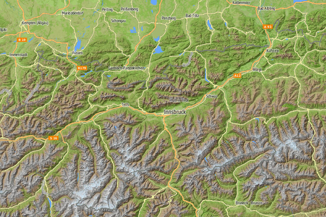
Tyrol Map Relief
Tyrol Map Relief - Contwise Maps with OSM Data
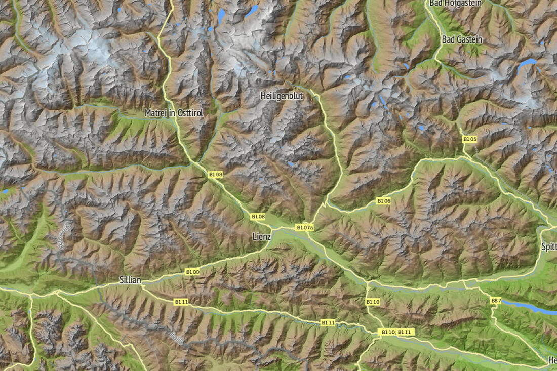
East Tyrol Map Relief
East Tyrol Map Relief - Contwise Maps with OSM Data
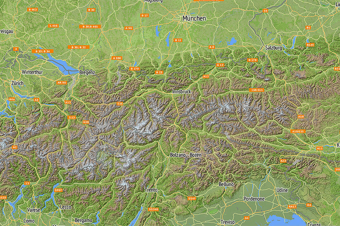
Map of the Eastern Alps Relief
Map of the Eastern Alps Relief - Contwise Maps with OSM Data
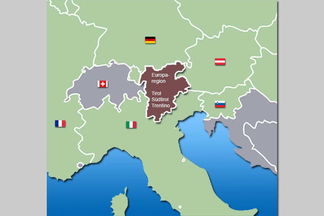
Location in Europe
Location in Europe

How do you like the content of this page?
Please give us your feedback!

Hotel of the
Month
Hotel Plunhof

★★★★sAlto Adige

Hotel Plunhof
  • most family-friendly wellness hotel
  • enjoy the winter landscape
  • cross-country skiing paradise
  • Spa Minera Acqua Minera
  • spicy wines
  • be active together

Vacation Offers

The best
tips

Top Hotels

Close
Close